
0
City of the Hittites, a religious centre and, for a few years, a military capital for the empire
At a glance
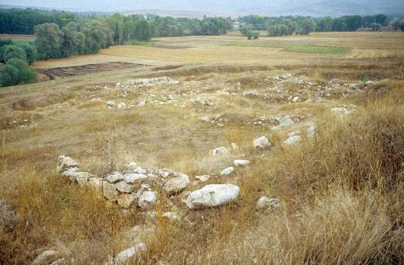
Samuha is a Bronze Age archaeological site in Turkey. It is located in Sivas, in the Black Sea Coast region. The nearest major city is Gaziantep, approximately 293 km away. The nearest archaeological site is Maşat Höyük.
Text adapted from Wikipedia under CC BY-SA 4.0. Read more on Wikipedia →
5 sites within a short drive — closest is Maşat Höyük at 88 km.
 88 km
 125 km
 130 km
 167 km
 169 km


Saved only on this device. Your list is stored in your browser — not in a database, and there is no account or login. It will be lost if you clear your browser data or switch to a different device or browser. Use Share this list to save a permanent link you can reopen anywhere.
No saved sites yet — your list is empty.


