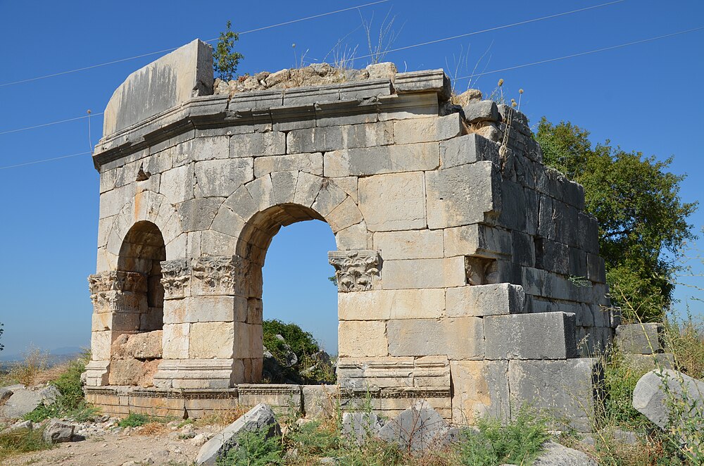
Kastabala
A Cilician Hierapolis
| Site Id: | 46 |
| Locality: | Osmaniye |
| Address: | Kirmitli |
| Coordinates: | 37.1841206, 36.18771121 |
| Period: | Classical |

Carole Raddato from FRANKFURT, Germany, CC BY-SA 2.0
Wikipedia Description
Castabala (Greek: Καστάβαλα), also known as Hieropolis and Hierapolis (Greek: Ίεράπολις) was a city in Cilicia (modern southern Turkey), near the Ceyhan River (ancient Pyramus). The Turkish town of Kırmıtlı, in the Osmaniye district of Osmaniye Province, sits atop the ruins of the ancient city. The ruins were first identified from inscriptions in March 1890 by the British explorer J. Theodore Bent.[1] More on Wikipedia
The images seen below are from Wikipedia and were obtained under license, which allows for their legal use on Wikipedia and other websites. For larger scale images follow the 'original file' link under the image in the attribution section.
Image-1
Attribution: Klaus-Peter Simon, with CC BY 3.0 license, original file:HierapolisCastabalaBurgberg.jpg
Image-2
Münzkabinett Berlin, Public domain, via Wikimedia Commons
Image-3
Carole Raddato from FRANKFURT, Germany, CC BY-SA 2.0, via Wikimedia Commons
Image-4
Klaus-Peter Simon, CC BY 3.0, via Wikimedia Commons
Maps of Kastabala archeological site, located in Osmaniye, Türkiye.
Street Map
Pinch and zoom to scale
Satellite Map
Pinch, zoom, and scale


