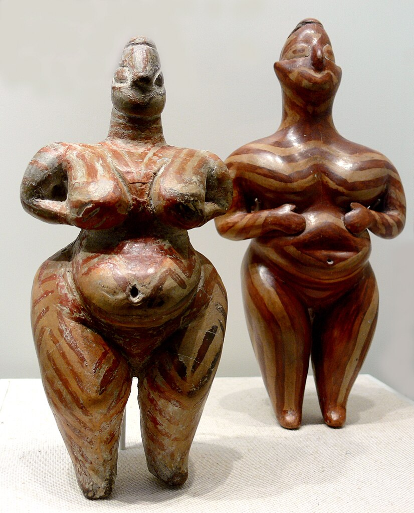
Hacılar Höyük
Early human settlement
| Site Id: | 352 |
| Locality: | Burdur |
| Address: | Hacılar Höyüğü, Burdur - Çavdır Yolu, Burdur Merkez, Burdur, Akdeniz Bölgesi, Türkiye |
| Coordinates: | 37.584547650000005, 30.084500701029533 |
| Period: | Neolithic |
Wikipedia Description
Hacilar is an early human settlement in southwestern Turkey, 23 km south of present-day Burdur. It has been dated back 7040 BC at its earliest stage of development. Archaeological remains indicate that the site was abandoned and reoccupied on more than one occasion in its history. More on Wikipedia
The images seen below are from Wikipedia and were obtained under license, which allows for their legal use on Wikipedia and other websites. For larger scale images follow the 'original file' link under the image in the attribution section.
Image-1
Attribution: MM, with CC BY-SA 3.0 license, original file:MNAO-OllaHacilar.jpg
Maps of Hacılar Höyük archeological site, located in Burdur, Türkiye.
Street Map
Pinch and zoom to scale
Satellite Map
Pinch, zoom, and scale

