Cyzicus
A tombolo which is said to have originally been an island in the Sea of Marmara
| Site Id: | 338 |
| Locality: | Balıkesir |
| Address: | Kyzikos Hadrian Tapınağı, 10-09, Düzler, Çeltikçi, Erdek, Balıkesir, Marmara Bölgesi, Türkiye |
| Coordinates: | 40.3879552, 27.870548113150328 |
| Period: | Classical |
Wikipedia Description
Cyzicus (/ˈsɪzɪkəs/; Ancient Greek: Κύζικος Kúzikos; Ottoman Turkish: آیدینجق, Aydıncıḳ) was an ancient Greek town in Mysia in Anatolia in the current Balıkesir Province of Turkey. It was located on the shoreward side of the present Kapıdağ Peninsula (the classical Arctonnesus), a tombolo which is said to have originally been an island in the Sea of Marmara only to be connected to the mainland in historic times either by artificial means or an earthquake. The site of Cyzicus, located on the Erdek and Bandırma roads, is protected by Turkey's Ministry of Culture. More on Wikipedia
The images seen below are from Wikipedia and were obtained under license, which allows for their legal use on Wikipedia and other websites. For larger scale images follow the 'original file' link under the image in the attribution section.
Image-1
Attribution: User:LouisAragon (uploader), with CC BY-SA 2.5 license, original file:Coin_of_Cyzicus_minted_in_the_Achaemenid_Empire.jpg
Image-2
Attribution: Izabela Miszczak, with CC BY-SA 4.0 license, original file:Cyzicus_amphitheatre_10.jpg
Image-3
Attribution: Izabela Miszczak, with CC BY-SA 4.0 license, original file:Cyzicus_amphitheatre_15.jpg
Image-4
Attribution: G.dallorto, with CC BY-SA 2.5 license, original file:Istanbul_-_Museo_archeol._-_Auriga_greco_-_Arcaico%2C_sec._VI_aC%2C_da_Cizico_-_Foto_G._Dall%27Orto_28-5-2006.jpg
Image-5
Attribution: CNG Coins, with CC BY-SA 3.0 license, original file:MYSIA%2C_Kyzikos._Circa_550-500_BC.jpg
Image-6
Attribution: CNG, with CC BY-SA 3.0 license, original file:MYSIA%2C_Kyzikos._Early%E2%80%93mid_4th_centuries_BC._Portrait_of_Timotheos.jpg
Image-7
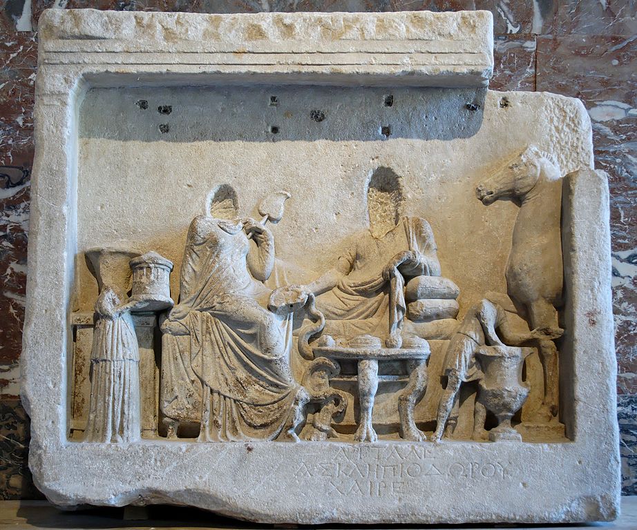
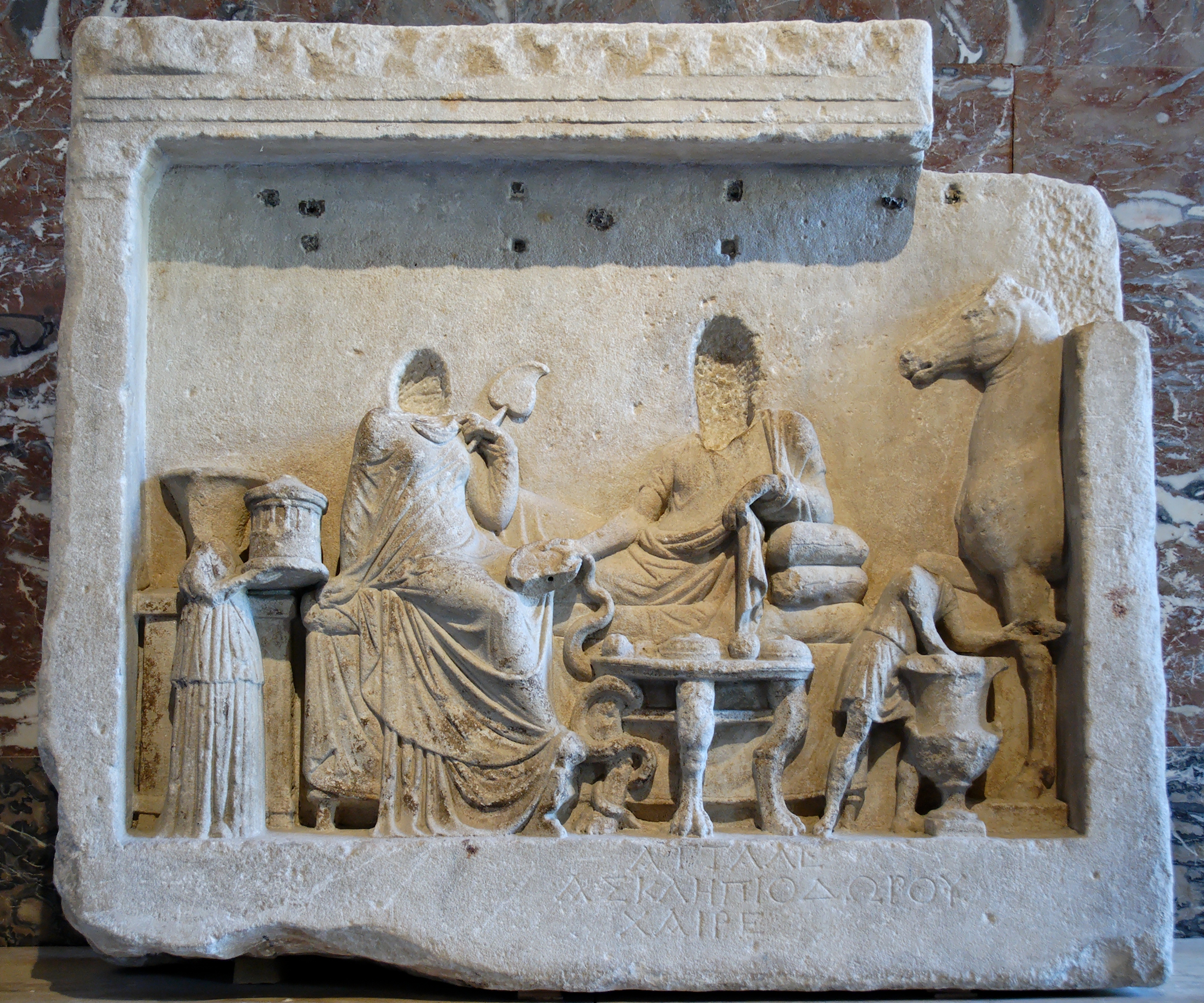
Louvre Museum, CC BY 3.0, via Wikimedia Commons
Maps of Cyzicus archeological site, located in Balıkesir, Türkiye.
Street Map
Pinch and zoom to scale
Satellite Map
Pinch, zoom, and scale


