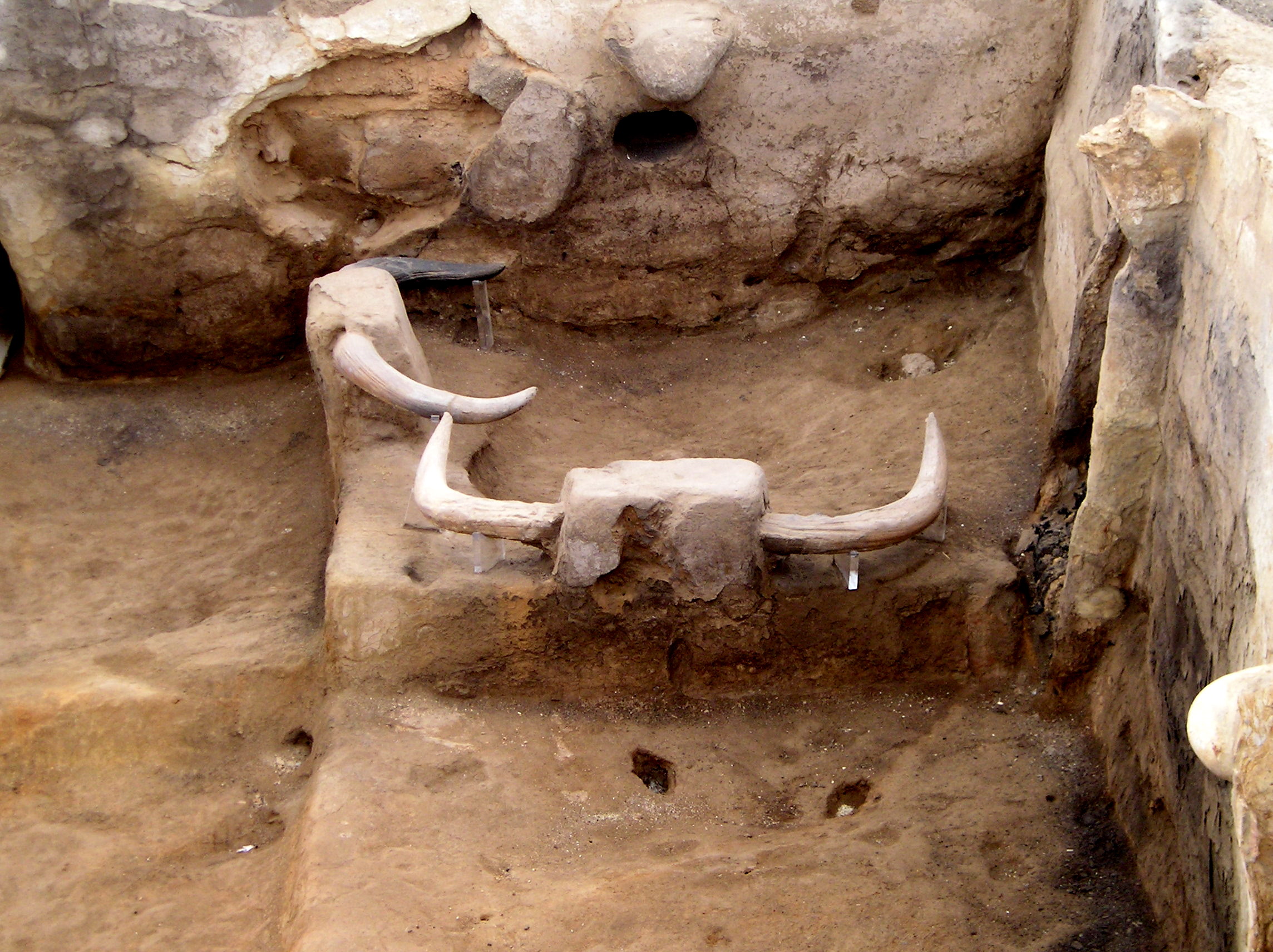
Çatalhöyük
Oldest structure
| Site Id: | 107 |
| Locality: | Konya |
| Address: | Küçükköy, Çatalhöyük Yolu, 42500 Çumra/Konya, Türkiye |
| Coordinates: | 37.6675, 32.82833 |
| Period: | Neolithic |
Wikipedia Description
Çatalhöyük is located overlooking the Konya Plain, southeast of the present-day city of Konya (ancient Iconium) in Turkey, approximately 140 km (87 mi) from the twin-coned volcano of Mount Hasan. The eastern settlement forms a mound that would have risen about 20 m (66 ft) above the plain at the time of the latest Neolithic occupation. There is also a smaller settlement mound to the west and a Byzantine settlement a few hundred meters to the east. The prehistoric mound settlements were abandoned before the Bronze Age. A channel of the Çarşamba River once flowed between the two mounds, and the settlement was built on alluvial clay which may have been favorable for early agriculture. More on Wikipedia
The images seen below are from Wikipedia and were obtained under license, which allows for their legal use on Wikipedia and other websites. For larger scale images follow the 'original file' link under the image in the attribution section.
Image-1
Attribution: Klaus-Peter Simon, with CC BY 3.0 license, original file:AnkaraMuseumCatal.jpg
Image-2
Attribution: Omar hoftun, with CC BY-SA 3.0 license, original file:Detail_of_the_mural_showing_the_hind_part_of_the_aurochs%2C_a_deer_and_hunters..jpg
Image-3
Attribution: Wolfgang Sauber, with CC BY-SA 4.0 license, original file:MUFT_-_Catal_H%C3%B6y%C3%BCk_Modell.jpg
Image-4
Attribution: Omar Hoftun, with CC BY-SA 3.0 license, original file:Mural_from_%C3%87atalh%C3%B6y%C3%BCk_excavated_by_James_Mellaart_showing_neolithic_hunters_attacking_an_aurochs_%28Bos_primigenius%29..jpg
Image-5
Attribution: Nevit Dilmen (talk), with CC BY-SA 3.0 license, original file:Museum_of_Anatolian_Civilizations_1320259_nevit.jpg
Image-6
Attribution: Omar Hoftun, with CC BY-SA 3.0 license, original file:%C3%87atalh%C3%B6y%C3%BCk_excavations_..jpg
Image-7
Attribution: Mark Nesbitt from London, with CC BY 2.0 license, original file:%C3%87atalh%C3%B6y%C3%BCk_trench.jpg
Maps of Çatalhöyük archeological site, located in Konya, Türkiye.
Street Map
Pinch and zoom to scale
Satellite Map
Pinch, zoom, and scale


